
Mina Yellas
Water source
Location
copied
42.358536, 2.173229
URL
copied
rodnik.today/1240772/
Reports
1
New Report
-
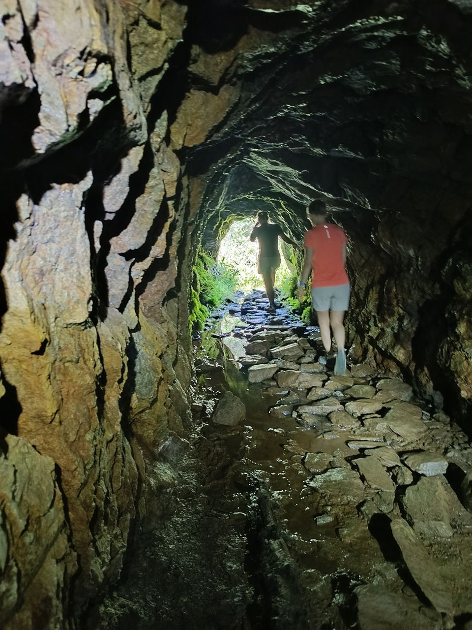
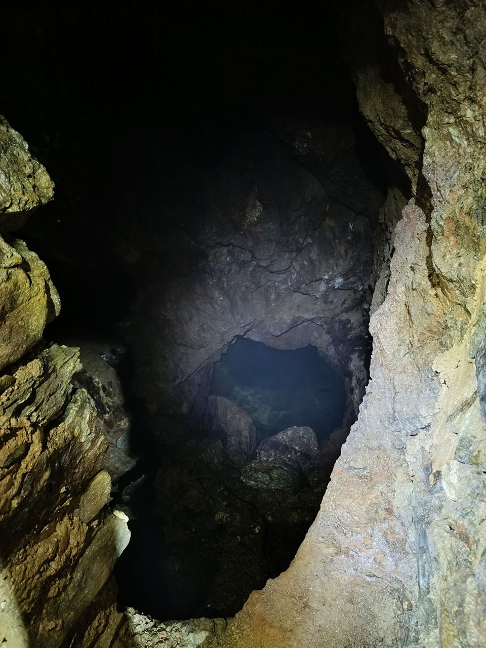
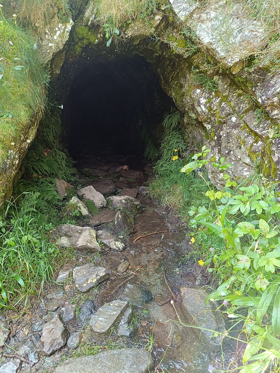
17.08.2025,Un arroyo fluye de la galería. Al final de la galería, al doblar la curva, hay un descenso hacia un depósito de agua subterráneo. El descenso no es fácil. Solo se puede obtener agua del suelo.Has water
-
Uploading track…
Track ready to share
Track upload failed
This track was deleted. The map still works without it.