
Drinking water source
Location
copied
53.422295, 50.118421
URL
copied
rodnik.today/178515/
OpenStreetMap Data
1 tag
amenity=drinking_water
OSM Node ID:
1295762586
OSM Location
53.422295, 50.118421
copied
Last edited in OSM:
10.07.2014 · version 2
Reports
1
New Report
-
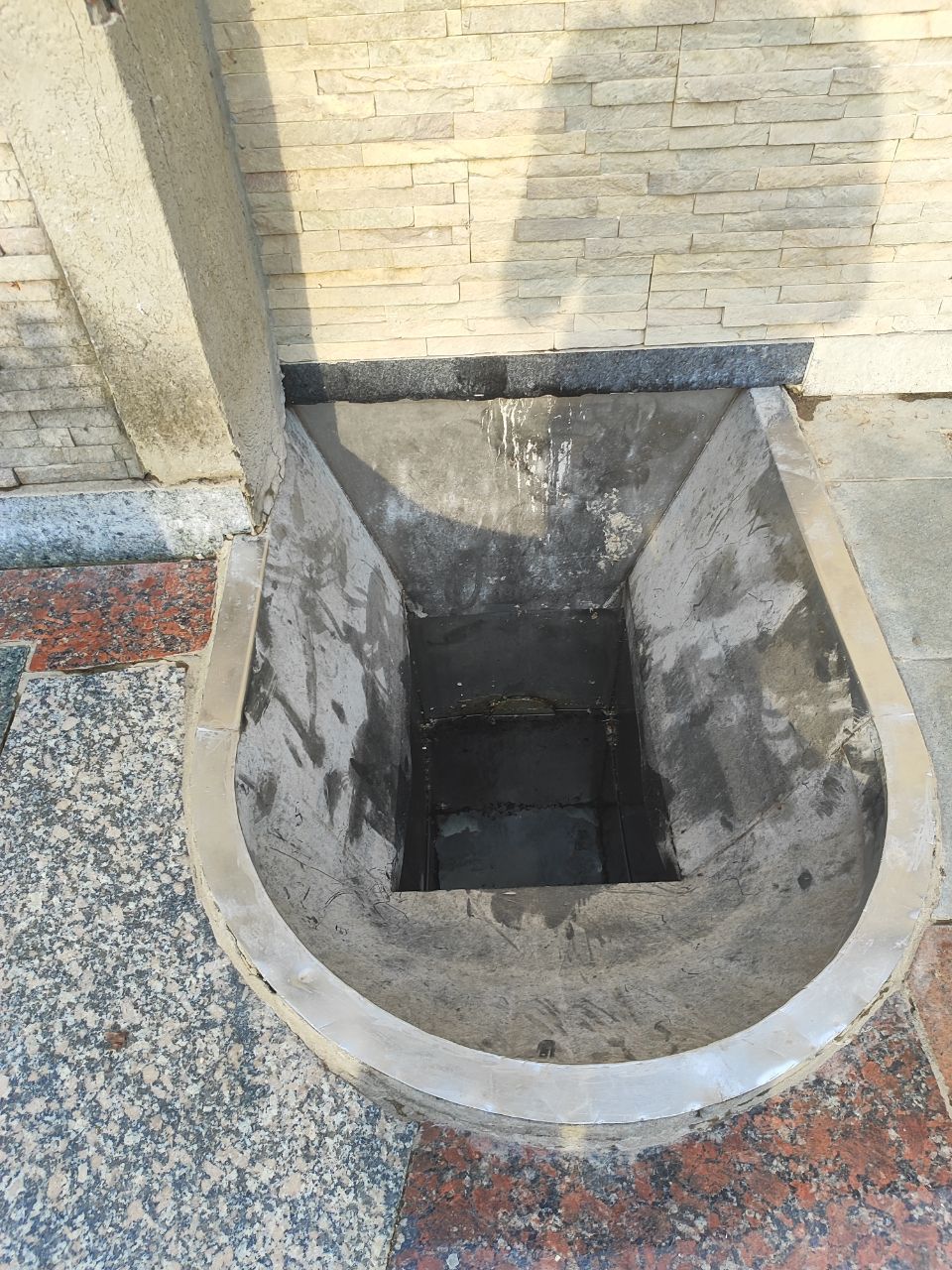
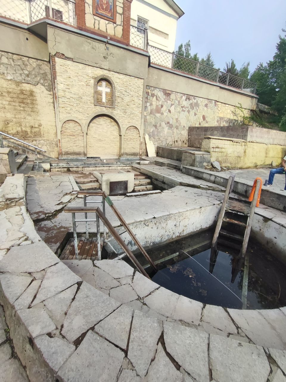
04.07.2026,Обустроенный родник при монастыре. Обычно уровень воды высокий, вода чистая, но сейчас уровень воды низкий, достать до воды тяжело + какой то мусор типа листьев плавает, требуется фильтрация.
Рядом есть купелиHas water Good water -
Uploading track…
Track ready to share
Track upload failed
This track was deleted. The map still works without it.