
Reports
1
New Report
-
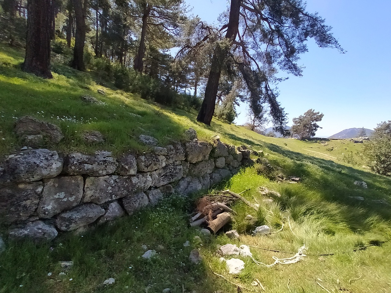
10.04.2021,Report was created on 09.09.2022Ancient water-catchment construction sourcing the watering place 50m southwest from that point (https://rodnik.today/438753). Water spring is obviously related to the fortress ruins on the ridge above, 250m east. OSM says it could be ancient Phoinikous or probably https://en.wikipedia.org/wiki/Phoenicus_(Lycia) but not sure.Has water Good water
-
Uploading track…
Track ready to share
Track upload failed
This track was deleted. The map still works without it.