
Font de Can Catí
Spring
Location
copied
39.763659, 2.753684
URL
copied
rodnik.today/421683/
OpenStreetMap Data
3 tags
name=Font de Can Catí
name:ca=Font de Can Catí
natural=spring
OSM Node ID:
6402286394
OSM Location
39.763659, 2.753684
copied
Last edited in OSM:
19.11.2022 · version 3
Reports
1
New Report
-
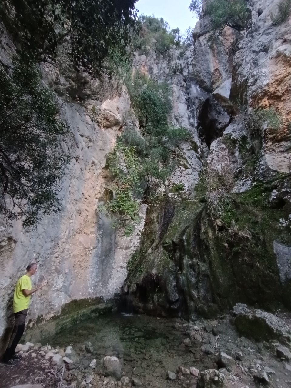
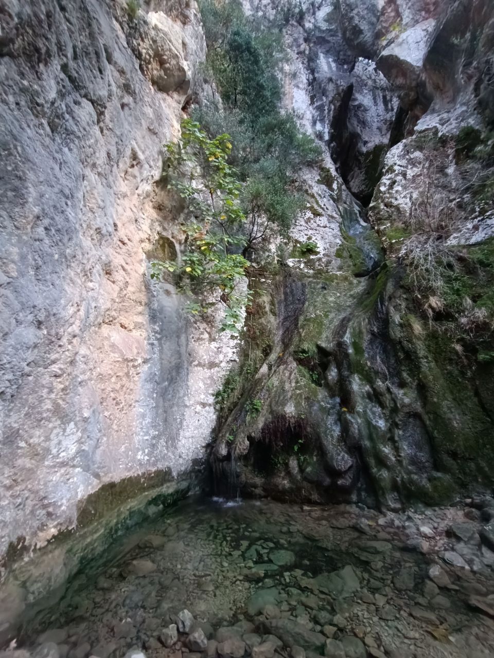
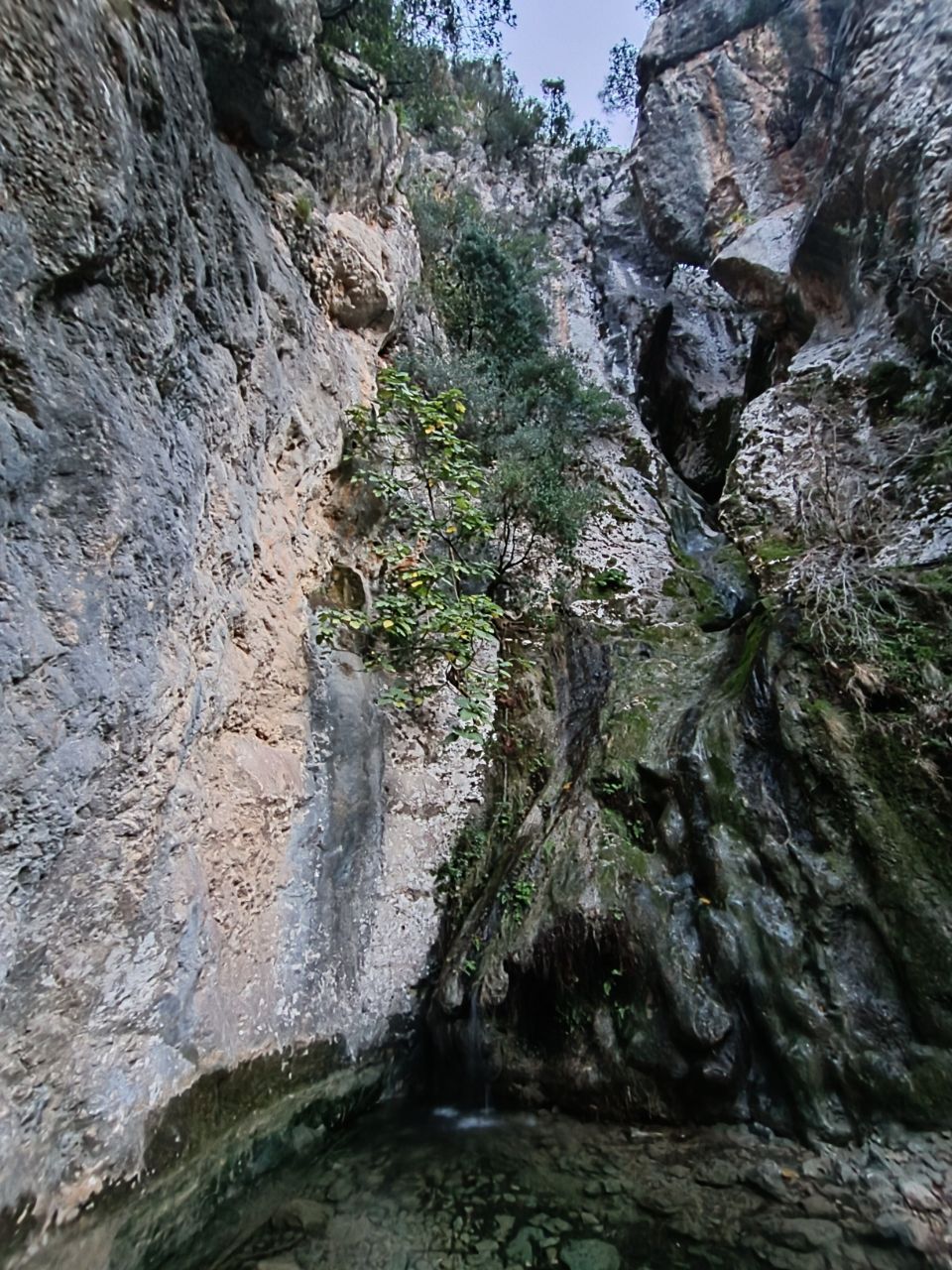
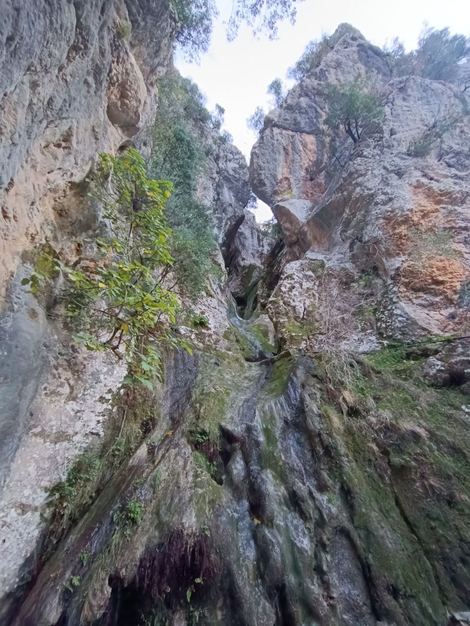
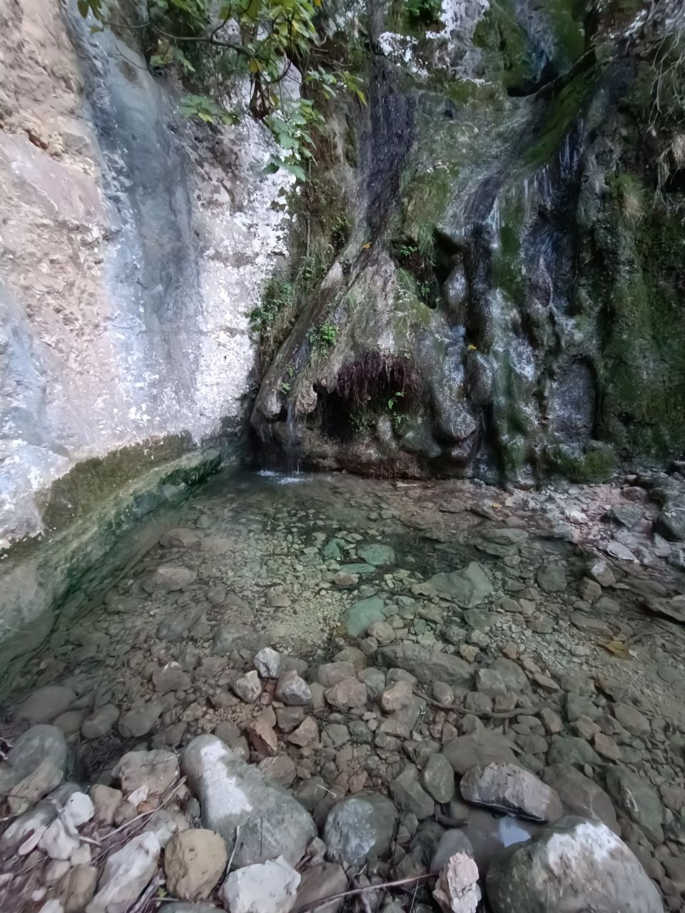
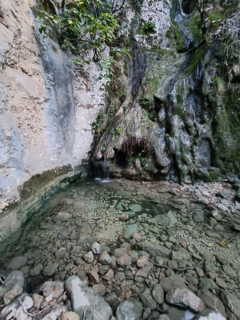
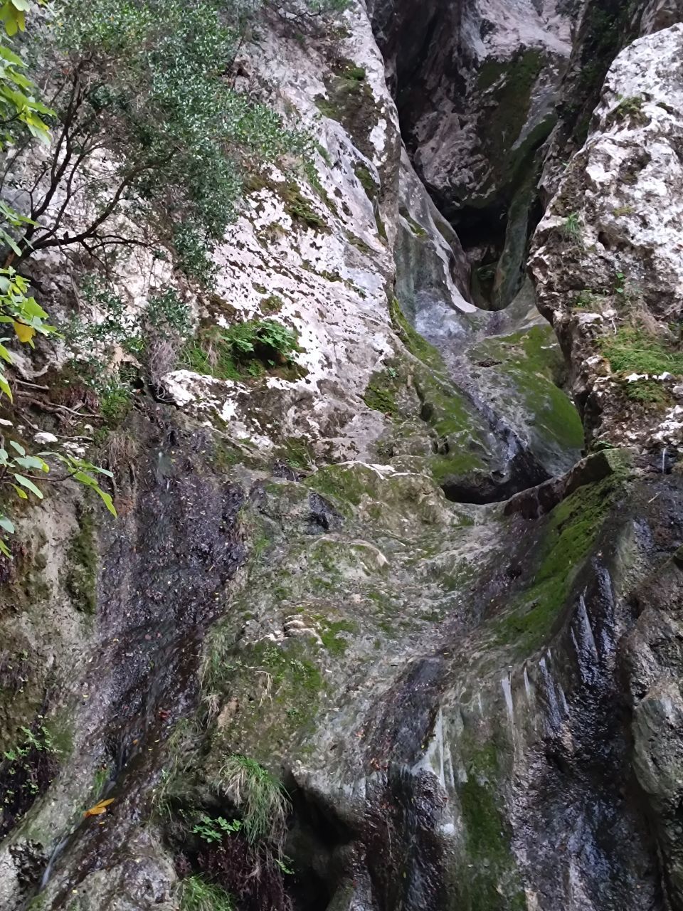
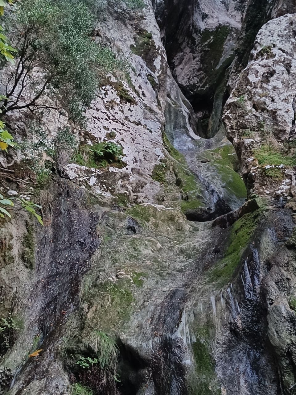
17.11.2026,Water emerges from a horizontal aquifer exposed about 5 meters above the lower basin of a spectacular canyon waterfall. During our visit, the section of the waterfall above the aquifer was dry. Below the aquifer, water trickles down the rock face from several points, collecting in the basin below. Further down the stream valley, the ground is dry. At the level of the water-bearing fissure, a horizontal section of a plastic water pipe can be seen running along the rock face.Has water Good water Access limited
-
Finding your location…
Allow access in the browser prompt.
Location access is blocked
Allow it in the site settings (icon by the address bar) and tap the button again.
On a phone, also check the system location settings.
Could not find your location. Is location turned on?
Finding your location took too long. Try again.
This browser does not support location.
Uploading track…
Track ready to share
Track upload failed
This track was deleted. The map still works without it.