
Spring
Location
copied
54.883669, 38.216034
URL
copied
rodnik.today/449399/
OpenStreetMap Data
1 tag
Reports
1
New Report
-
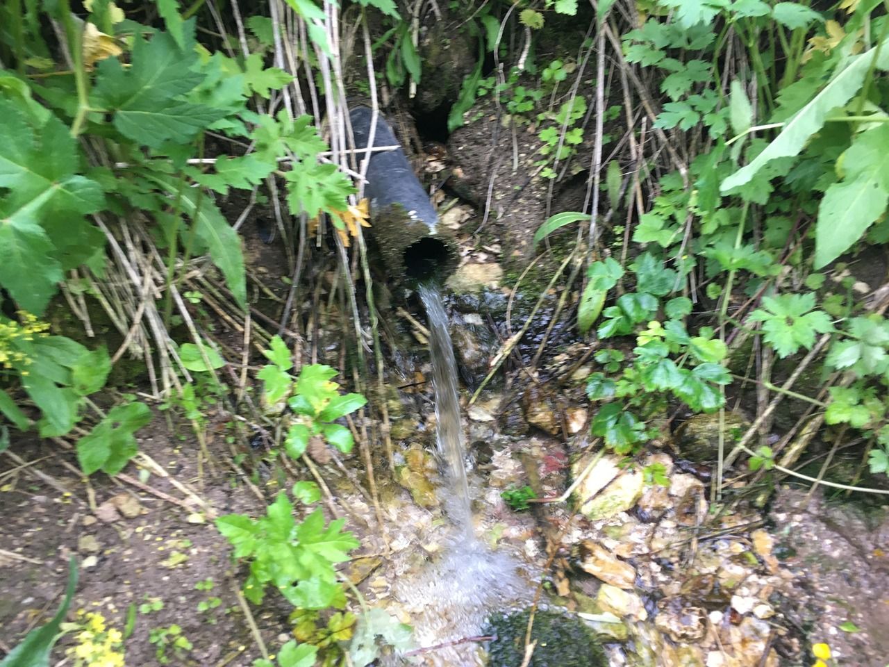
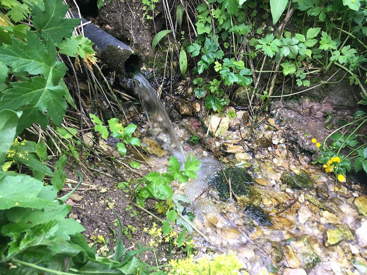
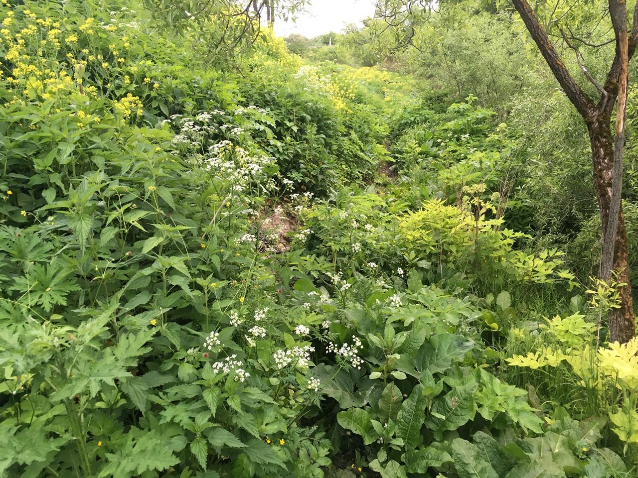
10.06.2023,Report was created on 12.06.2023Расположен на левом высоком берегу реки Каширка, около городища «Старая Кашира». Вытекает из известняка. Поток воды сильный, вода хорошая. По состоянию на июнь 2023 года проход к роднику сильно затруднён высокой колючей растительностью (тропа почти заросла).Has water Good water
-
Uploading track…
Track ready to share
Track upload failed
This track was deleted. The map still works without it.