
Родник
Spring
Location
copied
54.907353, 38.719485
URL
copied
rodnik.today/449864/
OpenStreetMap Data
2 tags
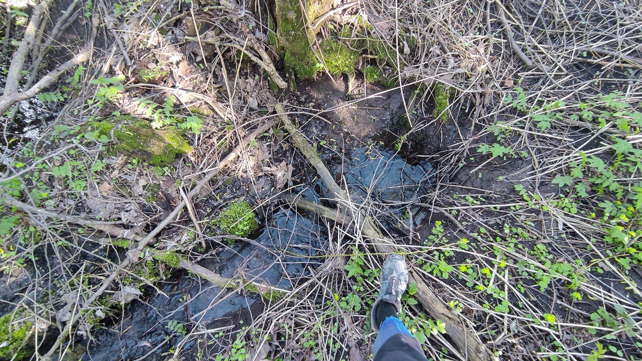
description=Яма. Родник бьёт со дна.
natural=spring
OSM Node ID:
4868611768
OSM Location
54.907230, 38.719461
copied
Last edited in OSM:
22.04.2024 · version 4
Reports
1
New Report
-
20.04.2024,Report was created on 21.04.2024Необорудованный мощный родник. Подход с севера, от берега Оки. Но летом всё вокруг зарастает крапивой, тропы нет.Has water
-
Uploading track…
Track ready to share
Track upload failed
This track was deleted. The map still works without it.