
Старый Монастырь
Spring
Location
copied
44.984135, 35.067452
URL
copied
rodnik.today/716053/
OpenStreetMap Data
6 tags
comment=SGA-STARYMON
description=Старый Монастырь
name=Старый Монастырь
name:uk=Старий монастир
natural=spring
source_ref=http://rodnik.crimea.ua/
OSM Node ID:
1917116218
OSM Location
44.984135, 35.067452
copied
Last edited in OSM:
02.05.2023 · version 40
Reports
5
New Report
-
11.09.2026,Report was created on 15.09.2026Вода чистая, прохладнаяHas water Good water
-
-
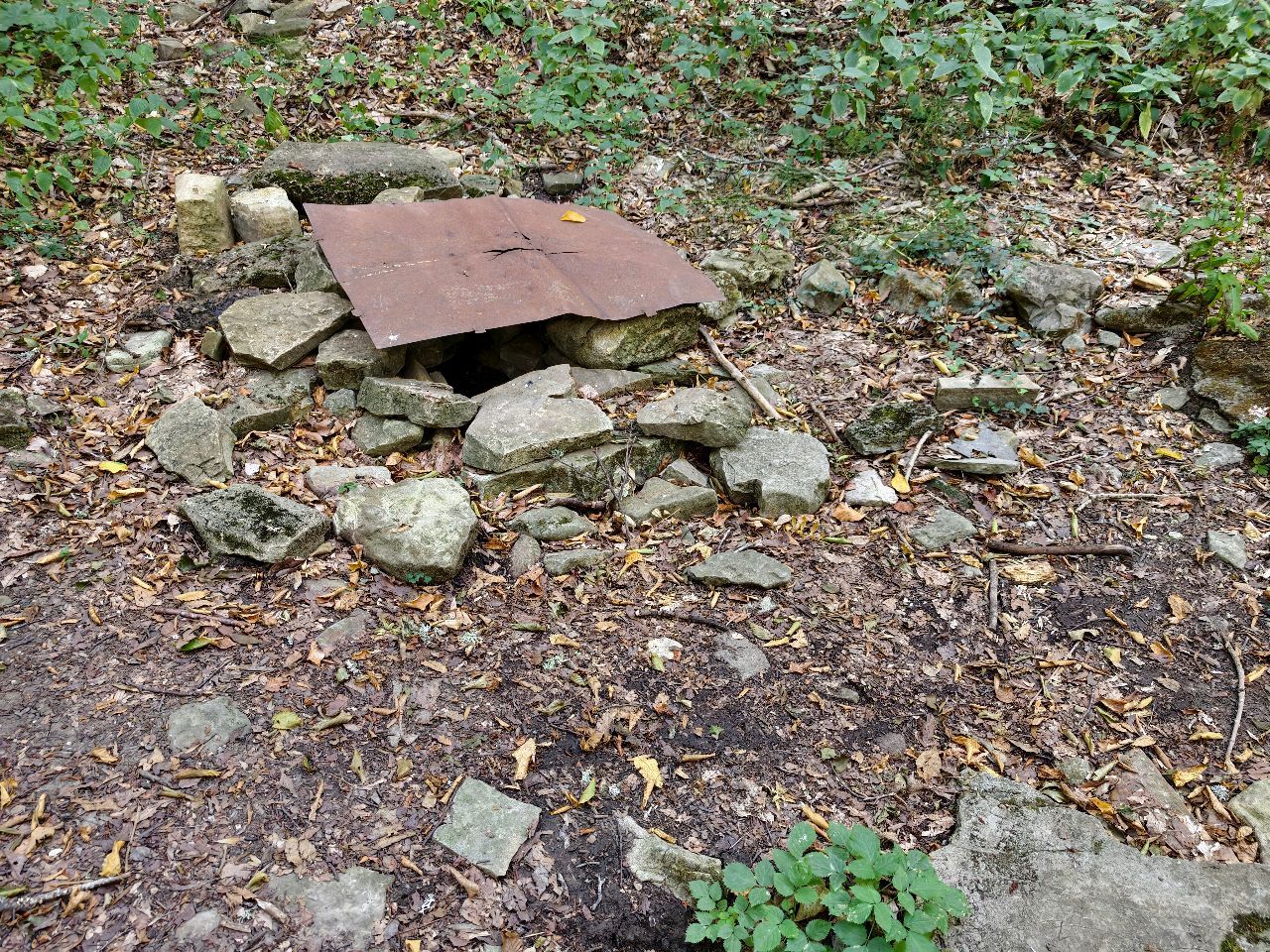
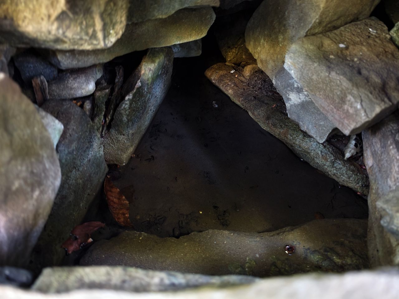
06.05.2026,Report was created on 12.05.2026Вода чистая. Можно набрать из каптажа под металлическим листом или чуть ниже со струи, бьющей из камнейHas water Good water
-
-
11.11.2025,Report was created on 15.11.2025Родник закрыт железным листом от листьев. Внутри вода хорошая, нужна кружка.Has water Good water
-
-
-
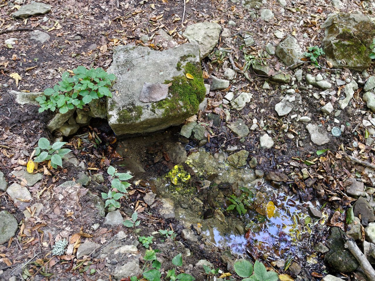
23.07.2025,Report was created on 05.08.2025Вода есть в чаше, бежит вниз ручейком.
Собрал мусор вокруг родника, забрал с собой. Ниже источника руины древнего монастыря - Сурб-Степанос. Очень сильное место. Можно сравнить с дольменами.Has water Good water -


Finding your location…
Allow access in the browser prompt.
Location access is blocked
Allow it in the site settings (icon by the address bar) and tap the button again.
On a phone, also check the system location settings.
Could not find your location. Is location turned on?
Finding your location took too long. Try again.
This browser does not support location.
Uploading track…
Track ready to share
Track upload failed
This track was deleted. The map still works without it.