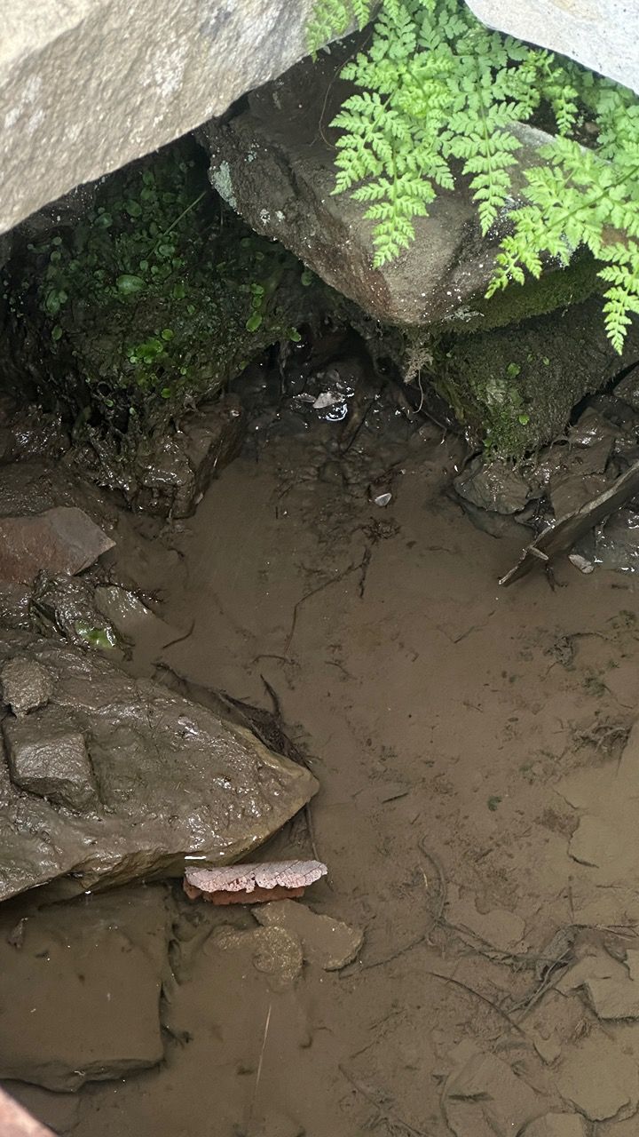
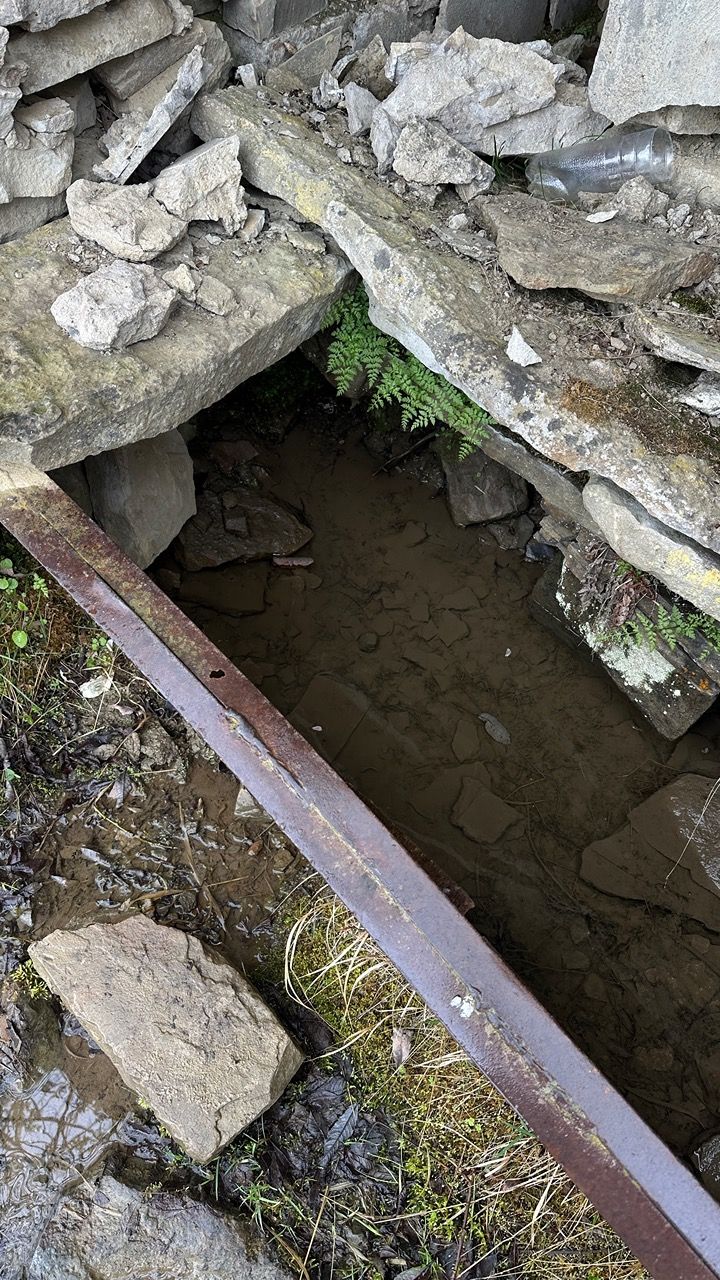
Слабый родник
Spring
Location
copied
42.168251, 47.510487
URL
copied
rodnik.today/1064021
OpenStreetMap Data
4 tags
description=май 2024 – питьевая вода в виде родниковой лужи
drinking_water=yes
name=Слабый родник
natural=spring
OSM Node ID:
12173729379
OSM Location
42.168251, 47.510487
copied
Reports
1
New Report
-
06.05.2024,Report was created on 13.09.2024Родник в каменной ёмкости, вода питьеваяHas water Good water
-