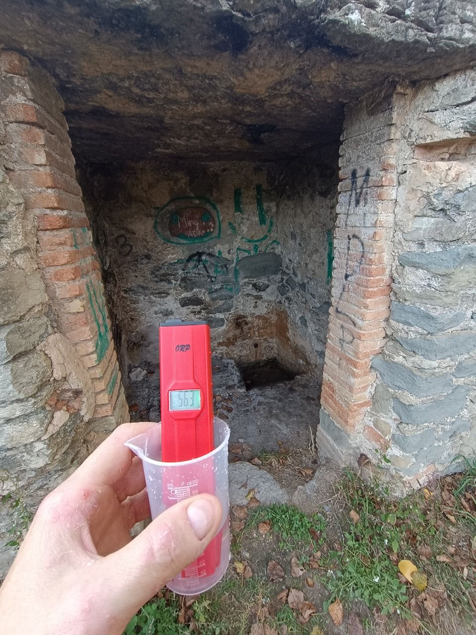
Font de Vall-llosera
Spring
Location
copied
41.813910, 2.237980
URL
copied
rodnik.today/497665
OpenStreetMap Data
4 tags
drinking_water=yes
name=Font de Vall-llosera
name:ca=Font de Vall-llosera
natural=spring
OSM Node ID:
6474264248
OSM Location
41.813910, 2.237980
copied
Reports
1
New Report
-
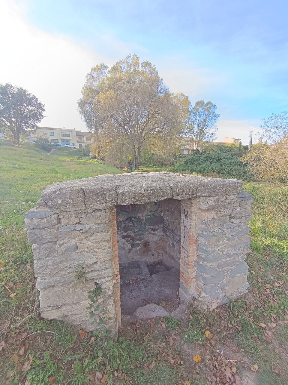
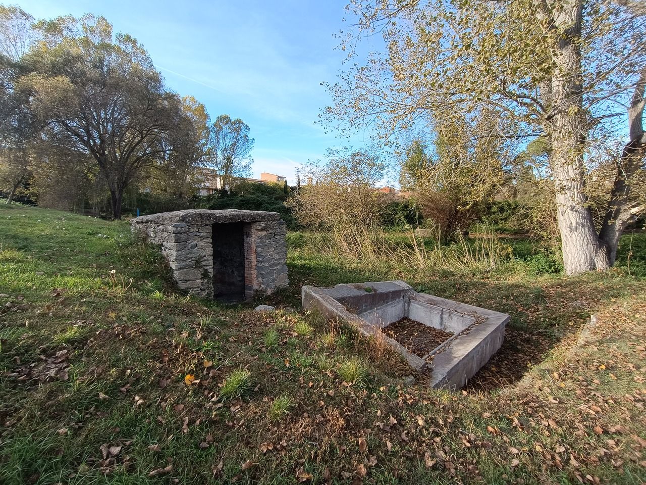
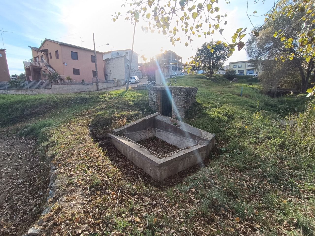
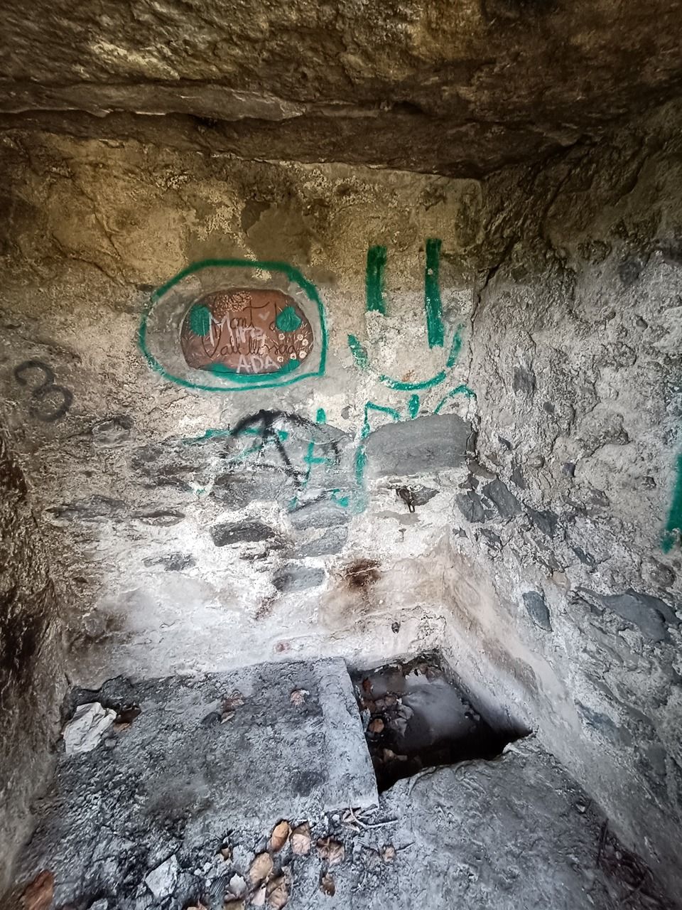
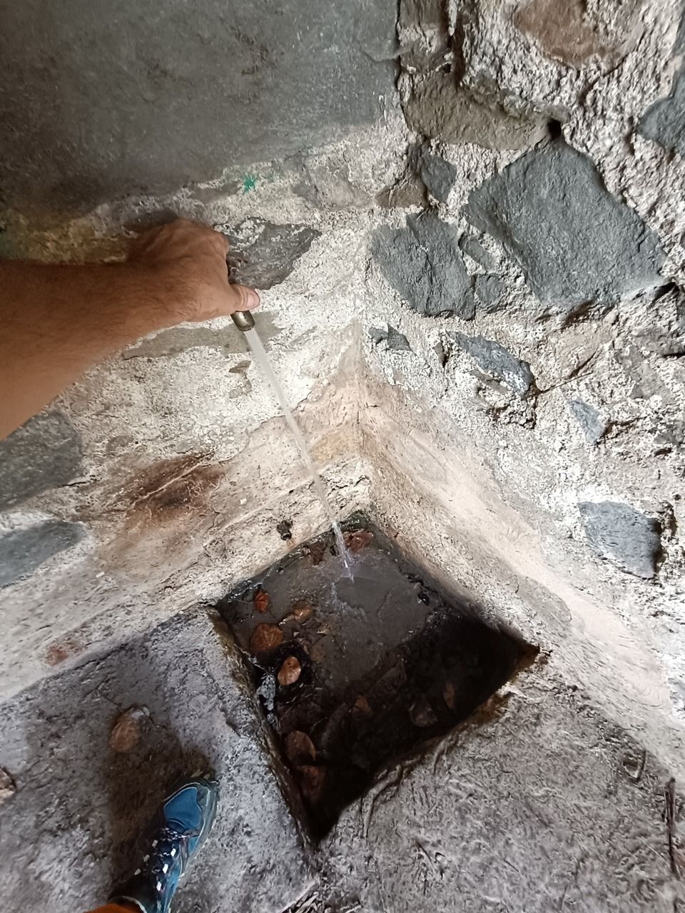
01.11.2025,Estructura tradicional de toma de agua con tubo de flujo constante y grifo. Se desconoce el punto de captación natural. El tubo no contiene agua. El agua del grifo presenta características idénticas a las del manantial de agua potable vecino https://rodnik.today/?page[spring]=1272892 , alimentado por la red de distribución del núcleo urbano.
#traditional #water_tap
#measurementec #measurementph #measurementorp
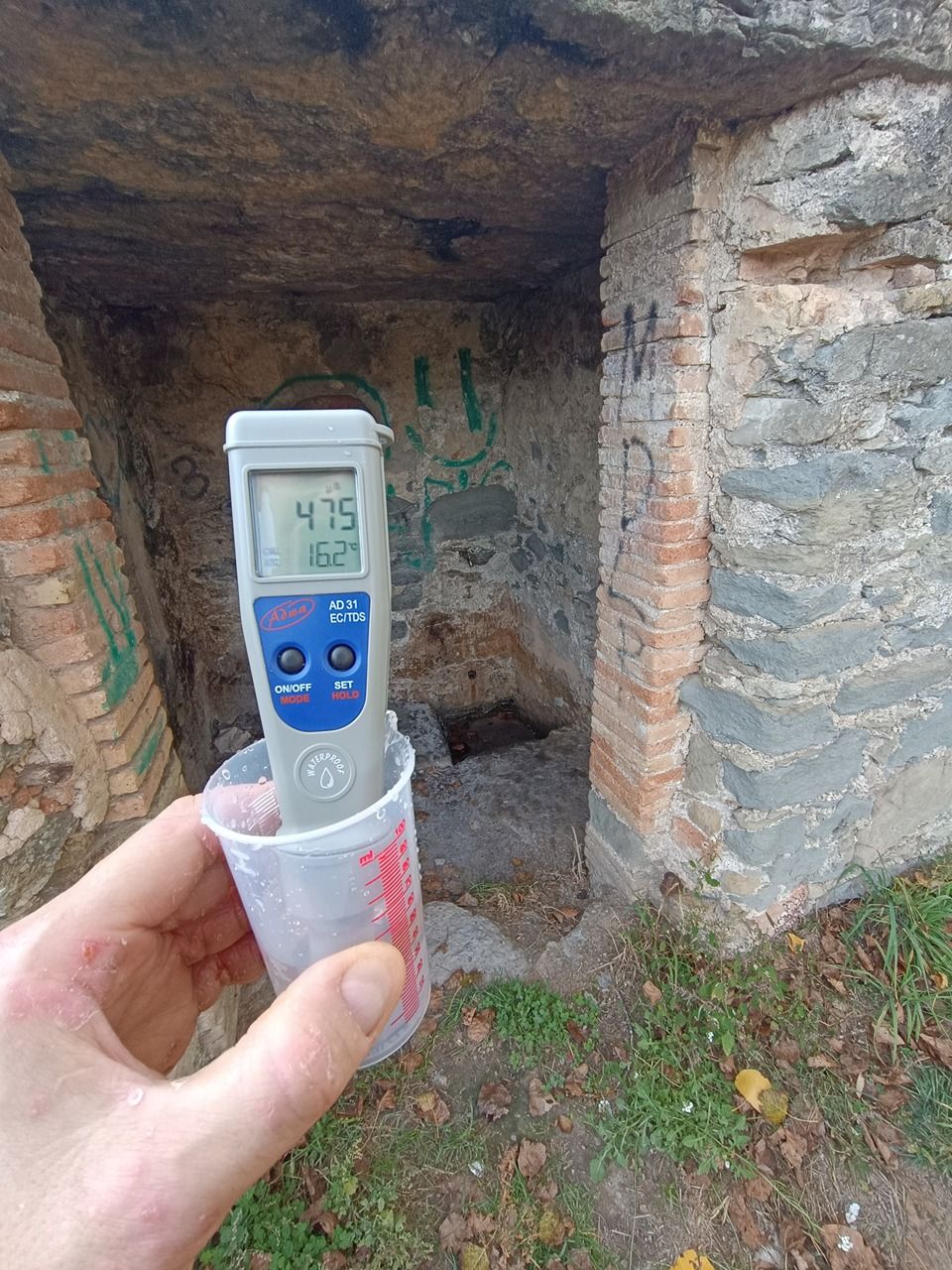
MEASUREMENT: Parameter=EC; Value=475; Unit=µS/cm; Temperature_water =16.2; Sensor=ADWA-AD31; Sensor_id=11108180301;
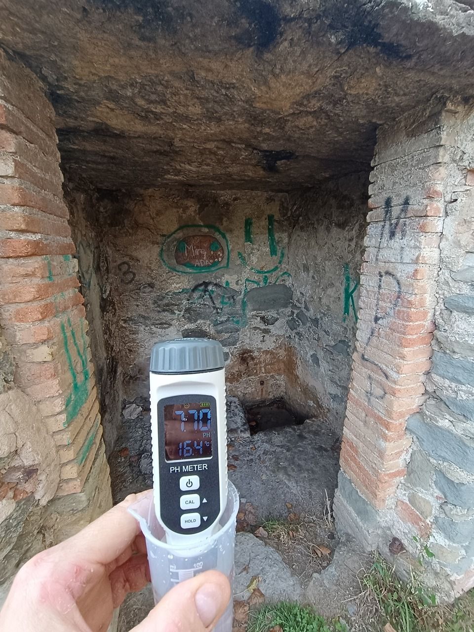
MEASUREMENT: Parameter=pH; Value=7.7; Unit=1; Temperature_water=16.4; Sensor=SMARTSENSOR-PH828+; Sensor_id=7999881; sensor_calibration_date=8/10/2025;
MEASUREMENT: Parameter=ORP; Value=563; Unit=mV; Sensor=RoHS-ORP-2069; Sensor_id=5kx20pzc9r;Has water Good water -