Spring
Location
copied
46.548824, 12.738660
URL
copied
rodnik.today/634801
OpenStreetMap Data
1 tag
Reports
1
New Report
-
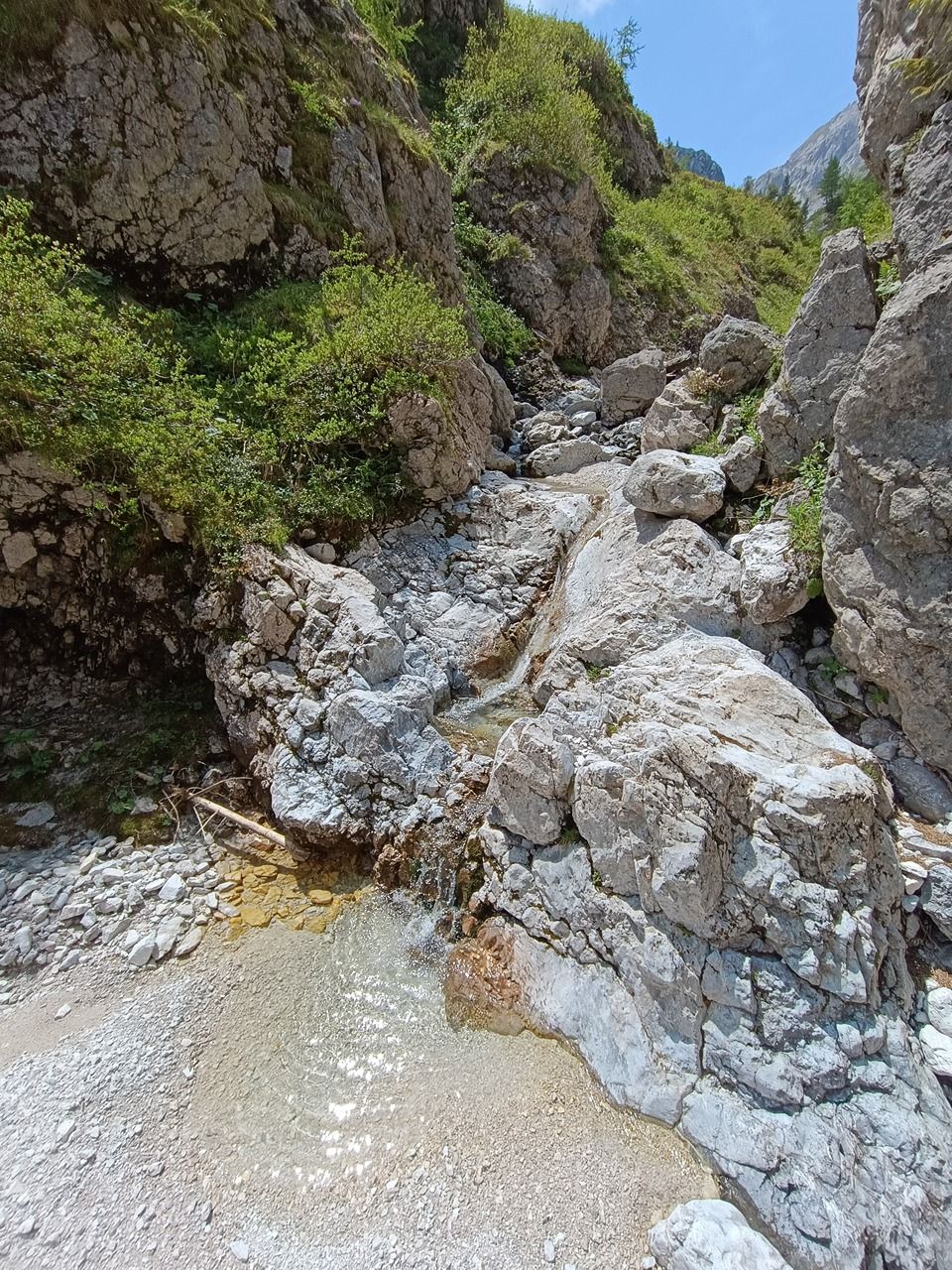
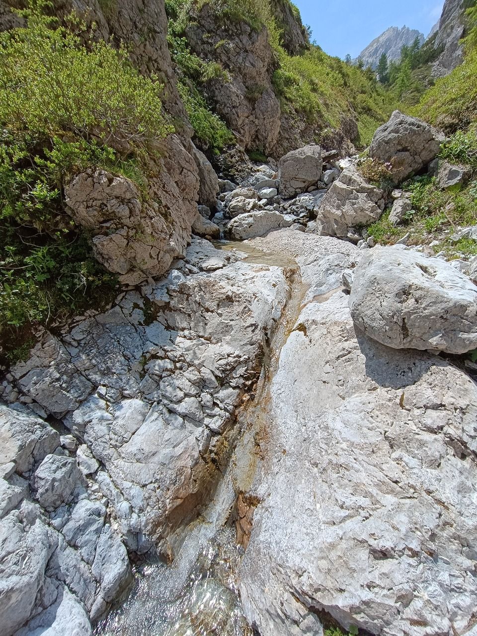
11.06.2025,Un breve tratto del letto del fiume dove i sedimenti scompaiono e il substrato roccioso viene esposto. L'acqua può essere raccolta. Più a valle, l'acqua scompare di nuovo sotto il ghiaione.Has water Good water
-